The Seam & Road No. 1, Jerusalem
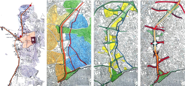
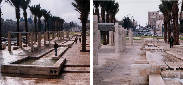
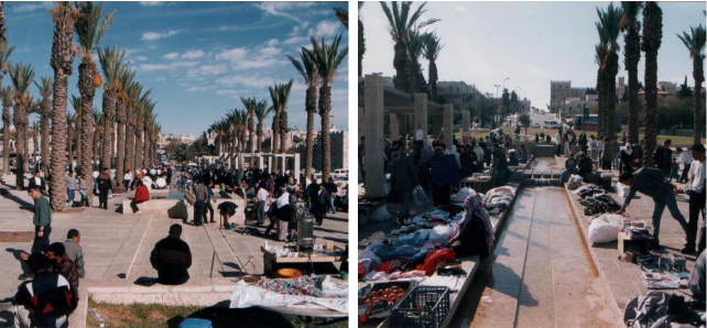
The plan covers an area of 2 km long and 400,000 m2, stretching from the Old City to Mt. Scopus, creating a new northern entrance to Jerusalem, the “corridor” of Road Number 1.
In the complex historical, social and political context of Jerusalem and its unique physical attributes, the plan for the “Seam” between East and West Jerusalem, encountered a variety of issues and challenges, in urban design, development and landscape plans and detailed designs for a variety of sites.
Planing and detailed design address five sections:
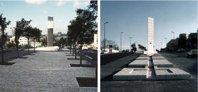
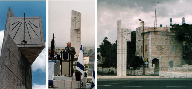
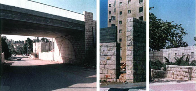
1. The North Entrance – A boulevard defined by public institutions creates a new gate to the city.
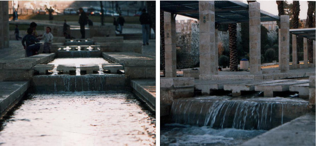
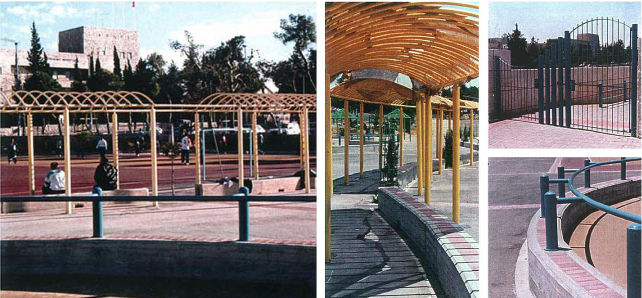
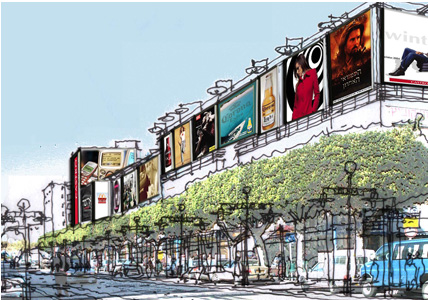
2. The “Promenade” – Rd. No. 1 is split into two levels opening views to the inner city.
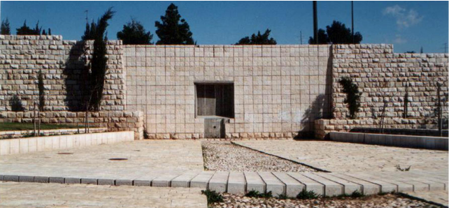
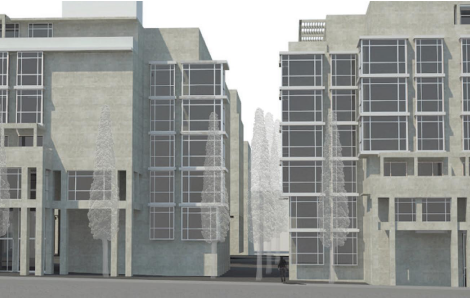
3. The Kidron Basin- Arab and Jewish neighborhoods are integrated by an urban infill of mixed use projects, to maintain existing textures and balance between building clusters and open spaces.
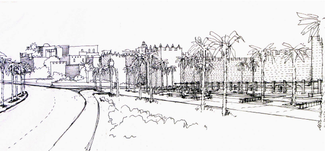
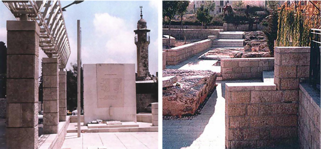
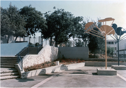
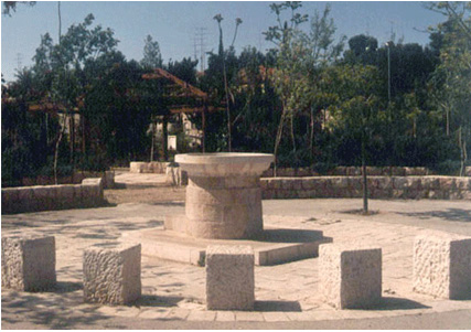
4. The Plateau – Leading to the old city the historical sites of St. George, St. Stephen, and Schmidt College compounds are preserved and commercial and touristic activities are intensified.
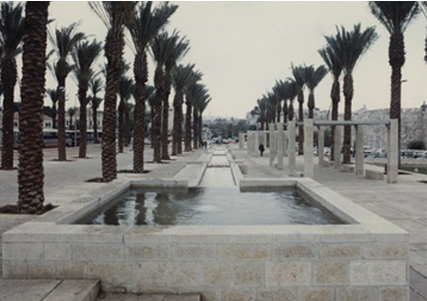
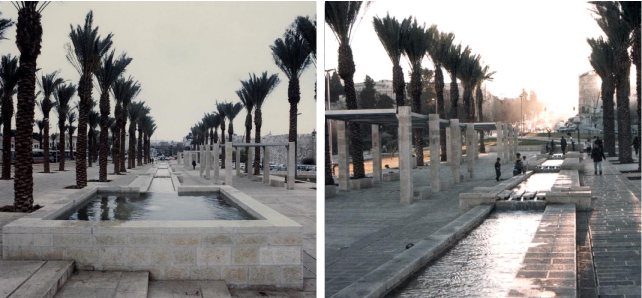
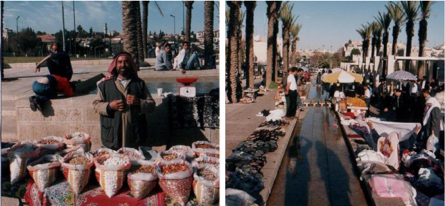
5. The South Arena – Facing the Old City wall, a wide triangular basin, where East and West Jerusalem meet, is designated for public activities.
A park along the old city’s wall connects between the new Gate and Damascus Gate and an open market leads pedestrians into the old city.
Year
1988-1996
Client
Jerusalem Municipality & Ministry of Transportation
Educational Complex, Jerusalem
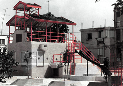
A Neighborhood Park, Jerusalem
Or Yehuda Urban Renewal
Herzl Road, Netanya
St. George Compound, Jerusalem